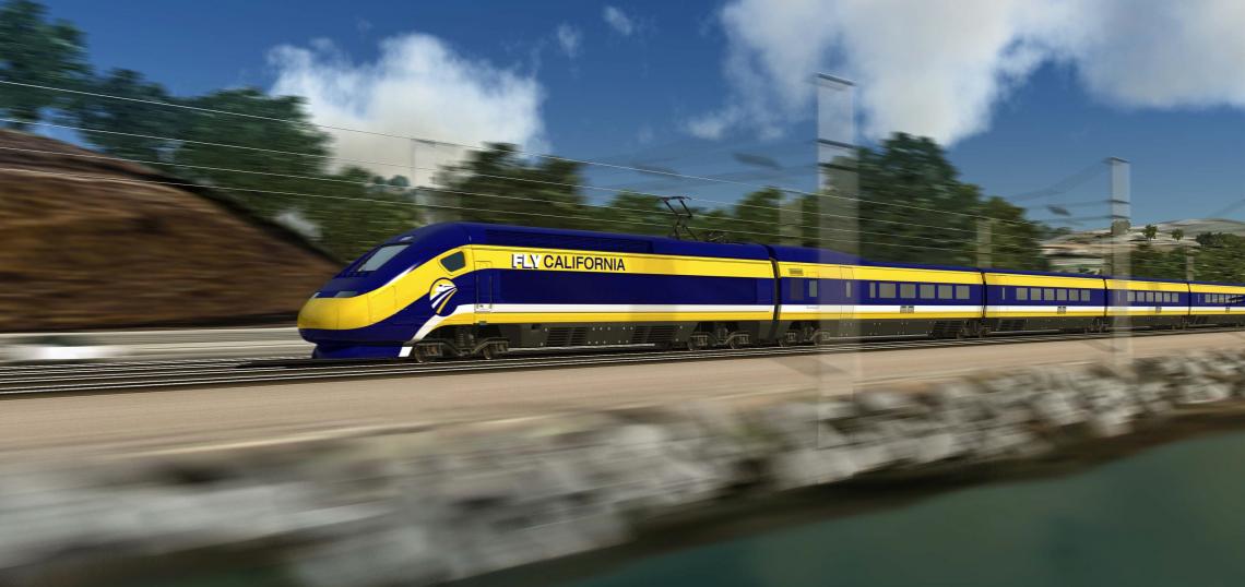
A new environmental study details the potential impacts of California's nascent high-speed rail system in its path between Burbank and Los Angeles Union Station.

Under the current plan, the California High-Speed Rail authority proposes to two electrified tracks to a 14-mile rail corridor which parallels the Los Angeles River. The right-of-way dates to the 1800s, when it was established by the Southern Pacific Railroad, and is used today by both Metrolink and Amtrak passenger trains.
The Burbank-to-Los Angeles high-speed rail project would start with a new underground station at Hollywood Burbank Airport. From there, trains would travel south in the tunnel before daylighting south of the intersection of Burbank and Victory Boulevards, where the tracks would rejoin the Southern Pacific right-of-way.

High-speed trains would remain in the existing rail corridor through the City of Glendale, as well as the Los Angeles neighborhoods of Atwater Village, Glassell Park, and Lincoln Heights, before crossing the Los Angeles River into Chinatown. This section of the route, which is largely at ground level, would require grade separation at five at-grade crossings and the closure of two additional intersections.
After entering Chinatown, high-speed trains would travel south along the west bank of the river before veering west to enter Union Station. The High-Speed Rail Authority recently signed an agreement with Los Angeles Metro to partially fund a revamp of Union Station which would expand its rail yard and add new run-through tracks crossing the US-101 Freeway.

While the use of an existing right-of-way limits the overall impacts of the project, its location may result in conflicts between the high-speed rail project and proposed open space and active transportation projects along the Los Angeles River.
As planned, the trains would make use of right-of-way also targeted for an extension of the San Fernando Bike Path through the Cities of Burbank and Los Angeles. The addition of high-speed tracks to the Lockheed Channel east of the Burbank Water Reclamation Plant would require relocating a .28-mile section of the path along Lake Street, roughly 300 feet to the west.
A proposed bike path within the San Fernando rail corridor, as well as Metro's plan to knit together the fragmented Los Angeles River bike path, would be precluded if not built prior to high-speed rail.
The High-Speed Rail Authority also proposes to either acquire portions of or establish permanent easements through the Rio de Los Angeles State Park, the proposed Taylor Yard G2 Park, and Albion Riverside Park. However, the footprints and functions of the parks are not expected to be impacted as a result of high-speed rail.

The Los Angeles Times reports that the proposed improvements in the Burbank-to-Los Angeles corridor would cost approximately $3.6 billion, while potentially displacing up to 34 residents and businesses which employ more than 1,700 people. A timeline for the project remains uncertain, given the overall swelling price tag for the statewide high-speed rail system and uncertain support from elected officials.
The project's public comment period is open through July 16.
Improvements from high-speed rail would join a host of other upgrades planned for the Burbank-Los Angeles corridor by both Metro and Metrolink, which have looked to augment service and boost ridership through targeted infrastructure improvements and the potential construction of new stations.
- California High-Speed Rail (Urbanize LA)